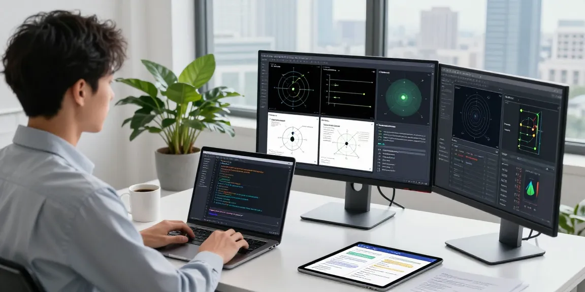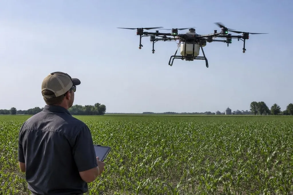
Farming drones already move above fields to collect images and apply crop treatments. Their next job will be harder: turn those images into safe, useful decisions while weather, crops, and soil keep changing.
This matters to a farm manager because a drone only saves work when its data leads to a clear action. A map that shows stress but cannot guide a spray plan adds another screen to the job.
Quick read
- Cameras will shift from simple field images to maps tied to crop health and location.
- Autonomous flight will depend on geofencing, obstacle sensing, and reliable return-to-home systems.
- The weak point remains proof that a drone improves yield, cuts chemical use, or lowers labor cost.
What farming drones can do next
A drone can carry an RGB camera, which records normal visible light. With that image, software can mark gaps in planting, damaged areas, standing water, or uneven growth.
Multispectral cameras add bands of light that people cannot see. Those bands can help compare plant condition across a field, but the map still needs a farm worker who knows the crop, soil, and recent weather. A color change is a clue, not a diagnosis.
Thermal cameras may add another layer by showing heat differences across plants and soil. That could help spot water stress or blocked irrigation lines, though heat readings can shift with cloud cover, wind, and the time of day.
The useful step is the link between the map and the next task. A field map could mark areas for inspection, guide a ground machine, or set a smaller spray zone. Its value will depend on that handoff, not on the image alone.
Safer autonomous flight
Longer flights will bring little benefit if the drone cannot stay inside legal and safe limits. Geofencing uses digital boundaries to keep the aircraft away from restricted areas, roads, buildings, or neighboring fields.
Obstacle sensing adds another layer. Cameras, radar, or LiDAR can help the drone detect trees, wires, poles, and other aircraft. Each sensor has limits, so a safe system needs clear rules for slowing down, stopping, or returning home when a reading looks wrong.
Battery limits will shape the work plan. A farm manager may need several launch points, spare batteries, or a charging system near the field. A drone that spends too much time returning to base can leave the most useful part of a flight unfinished.
That makes the evidence behind a spray claim matter: field size, liquid load, flight time, and return distance can decide whether the drone finishes the job. Farming drone coverage from Robot24.com can place those figures beside the aircraft’s stated task before the next section tests spraying.
Spraying needs tighter proof
Using a drone to spray a small area can reduce the need to treat an entire field. That does not mean every crop or product suits an aircraft. Wind can carry droplets away, and local rules may limit where spraying is allowed.
Spraying also requires a steady height and speed. Its nozzles need a known flow rate, and the operator needs records showing where the treatment went. Those details matter when a farm must check coverage, explain a result, or meet a chemical-use rule.
I’d wait before buying a larger fleet until a supplier shows repeatable field results, service plans, and a clear cost per treated acre.
The strongest case may come from small, targeted jobs rather than full-field work. Spot treatment, crop scouting, and checks after storms give the drone a defined task and a clear result to measure.
What remains unproven
The hard question is not whether a drone can fly over crops. It is whether the full system can turn flight data into lower costs or better crop decisions across changing conditions.
A serious trial should compare the drone's work with the farm's current method. It should record flight time, battery swaps, staff hours, treated area, missed areas, weather, and the cost of repairs.
Without those records, a smooth demo says little about a full season.
Any system also needs a plan for bad data. Dust, glare, cloud, wind, weak satellite signals, and damaged sensors can affect a flight or map. The operator must know when to stop and inspect the field by another method.
A buying checklist for farm managers
Before choosing a system, check these points:
- Task first: Name the crop job and the result you need from each flight.
- Sensor match: Confirm that the camera or LiDAR unit fits the decision you want to make.
- Flight plan: Check battery time, launch points, return-to-home behavior, and geofencing.
- Spray records: Ask how the system logs location, flow rate, height, and speed.
- Repair support: Get response times, spare-part costs, and battery replacement terms in writing.
- Trial method: Set a comparison plan before buying more than one aircraft.
The next useful farming drone will be judged on what happens after it lands. If its maps lead to measured action, farms have a reason to keep using it; if they stop at attractive images, the aircraft stays a costly camera with propellers.